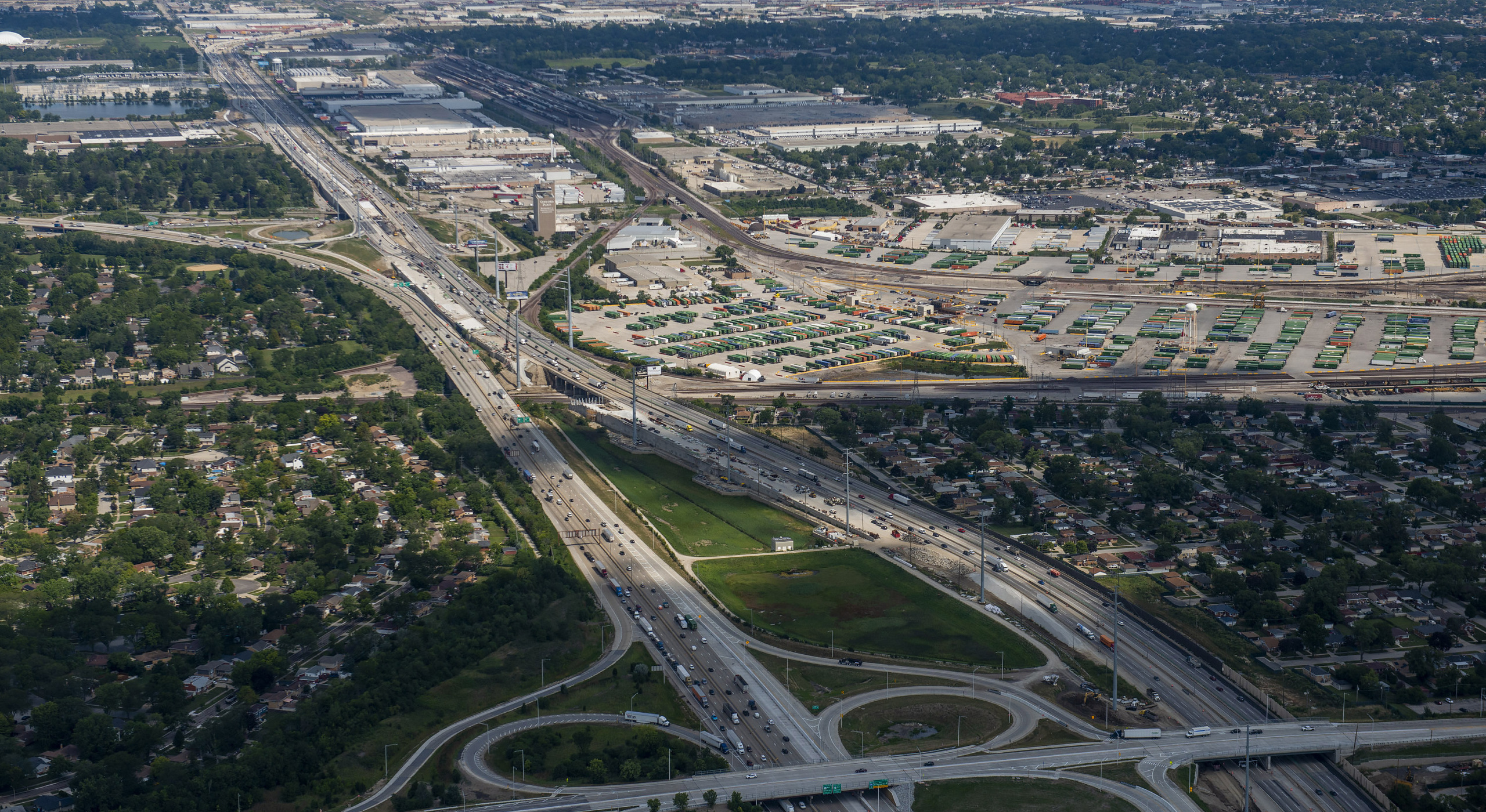
I-294 Central Tri-State St. Charles Road to North Avenue/Lake Street Widening/Bridge Reconstruction
Transportation
Survey
Chicago, IL
Ardmore Roderick verified existing location control for the route survey along northbound and southbound I-294 Tri-State Tollway. A Field Work Access Request (FWAR) was filed and approved for work on the highway from 0.5 miles south of St. Charles Road (MP 31.8) to 0.5 miles north of North Avenue (MP 34.0). A total of 42 survey control points and benchmarks, originally set by Sanchez & Associates and by American Surveying and Engineering were observed on multiple days utilizing both Leica and Trimble GPS receivers. The multiple observations were done to achieve accurate, consistent, and repeatable horizontal coordinates. Closed level circuits were then run through all of the points with conventional leveling equipment. This was done to produce a tight vertical network of relative control points and benchmarks. The results of the verification were reported to the client’s surveyor for use in their pre-design topographic survey project.
Ardmore Roderick also performed pre-design topographic survey on the adjacent Eisenhower Expressway I-290 from MP 13.0 to MP 14.3. The survey was performed primarily with night lane closures, and included pavement lanes, shoulders, and exit ramps. A Triangulated Irregular Network (TIN) model was solved and contours were produced. This was done for the purpose of slightly realigning the two highways to accommodate a new overhead sign structure. Ardmore Roderick served as a subconsultant to Alfred Benesch & Company.
